Systems & Graphics
3D Campus Digital Twin
University of Birmingham, Edgbaston
A real campus reimagined in interactive 3D.
- Role
- Design and development.
- Status
- Live demo, open source
- Year
- 2026
01
The problem
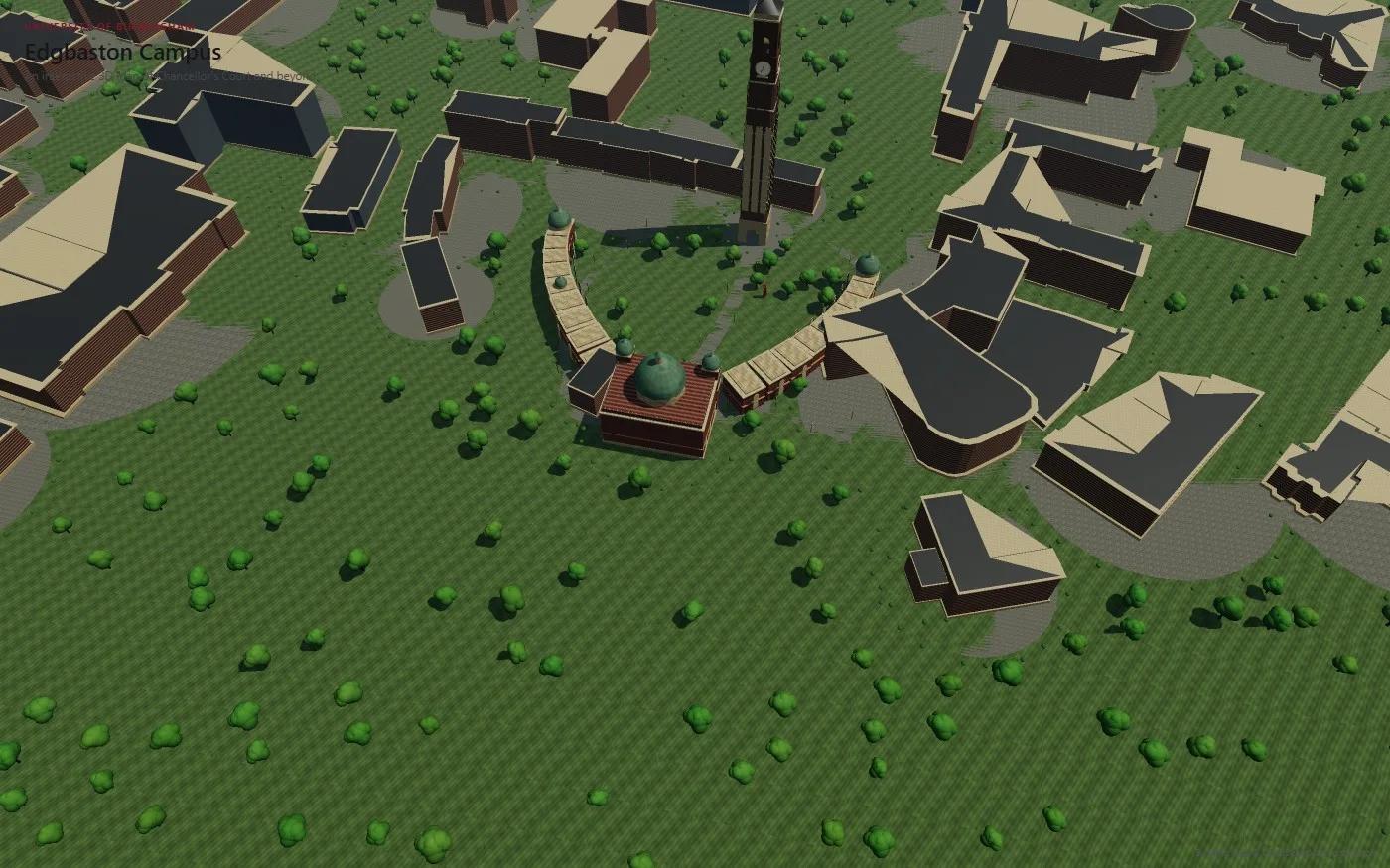
Campus maps are flat and static. I wanted a space you can actually explore that is accurate to the real campus, with real building outlines and real paths, without photogrammetry or licensed imagery.
02
My contribution
I built it end to end: the OpenStreetMap extraction, the footprint-to-mesh pipeline, procedural textures and landscaping, the bespoke Old Joe and Aston Webb models, picking and the camera system, and the Map and Directions routing.
- Three.js
- TypeScript
- WebGL
- OpenStreetMap
- Dijkstra routing
03
How it works
Extract
Query OpenStreetMap through Overpass for named university buildings and real footpaths inside the campus bounding box.
Project
Convert every footprint polygon to local metres around Old Joe, using one real-world mapping shared by the scene and live GPS.
Generate
Extrude each footprint into a massed building with a procedural facade, plinth, cornice and rooftop clutter.
Route
Snap start and destination to the path graph and run Dijkstra to draw a walking route with distance and time.
04
Engineering details
Real footprints, not guesses
Position, plan shape and height come from OpenStreetMap data. The facade detail on generic buildings is simplified, and the project says so rather than passing it off as a scan.
Instancing
Three tree species, foundation shrubs and 1,000+ lamp posts along the real paths are drawn with instanced meshes, so the draw-call count stays low however many there are.
Procedural textures
Brick, stone, grass with mowing stripes, sky and window-grid facades are all generated on a canvas at startup. No imagery is downloaded or scraped.
One coordinate system
Live GPS fixes go through the same projection the 3D scene is built on, so the you-are-here marker lines up exactly. A manual pin works when location is unavailable.
A camera that stays a map
Orbit controls are capped so the view always reads as tilting a satellite map, with a separate 360 degree viewer for the two bespoke landmarks.
05
Results & limitations
You can orbit the campus, click any of the 60 buildings to fly to it, open a 360 degree viewer on Old Joe or the Aston Webb building, and get walking directions along real paths from a live GPS fix or a dropped pin.
60
campus buildings
58 from OpenStreetMap footprints plus 2 bespoke landmarks.
~430
OSM path segments
Merged into one mesh and reused for tree placement, lamp posts and walking routes.
0
downloaded textures
Every texture is generated at startup.
Limitations and honest caveats
- Building facades are simplified massing on real footprints, not photogrammetry.
- Only Old Joe and the Aston Webb building have bespoke models and an Explore in 3D viewer.
- Terrain elevation is a small procedural undulation, not survey contour data.
- Generic buildings do not cast shadows yet. The sun's shadow frustum is sized for the central courtyard.
06
Gallery
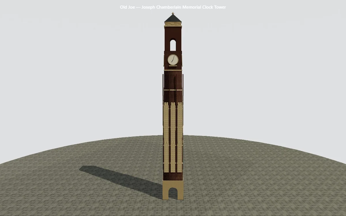
Old Joe, the Joseph Chamberlain Memorial Clock Tower, fully modelled. 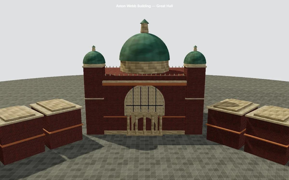
The Aston Webb building and Great Hall, with twin domed turrets. 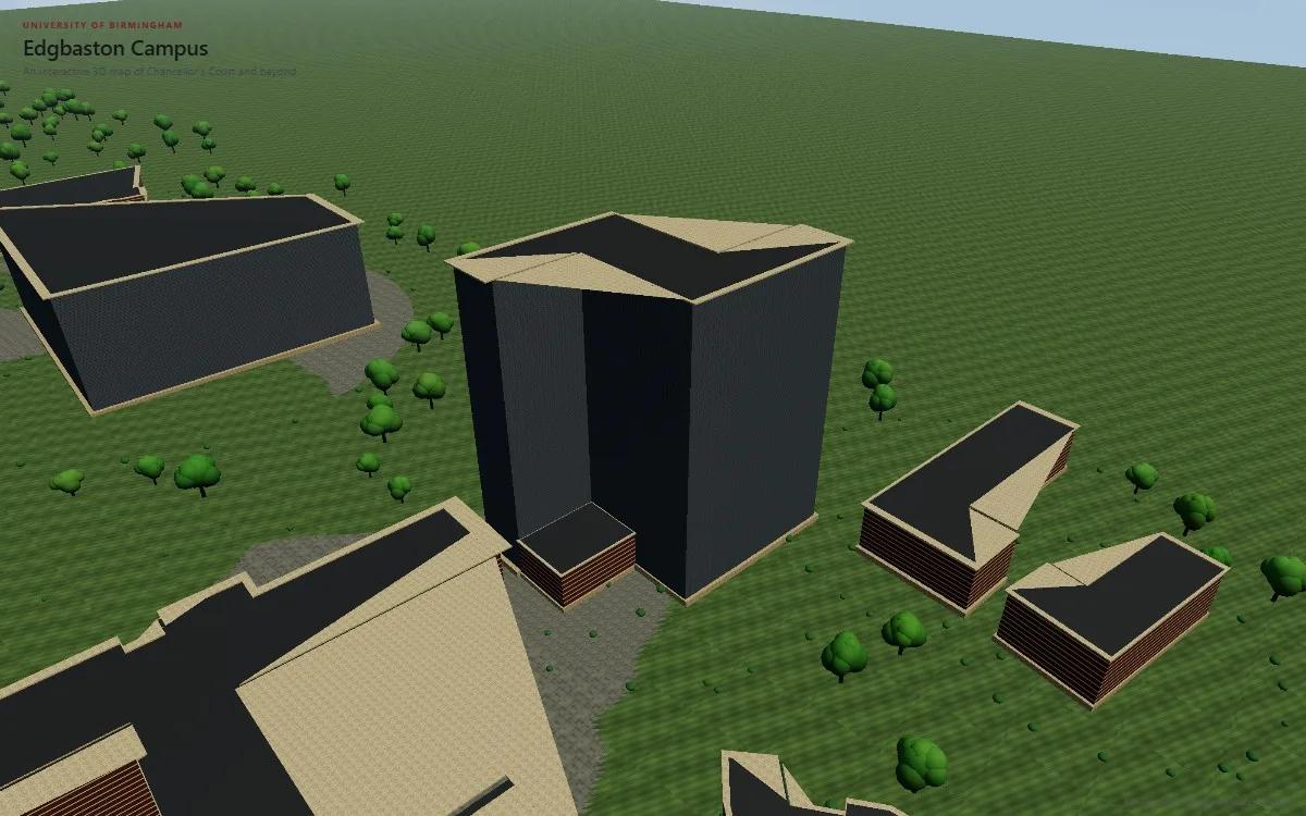
Muirhead Tower and its neighbours: real footprints, simplified facades.